


Preview
Creation Date
2014-04-07
Description
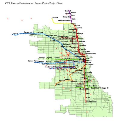
This map displays all of The Steans Center Project Sites in the Chicagoland region in relation to CTA train lines with stations. This map helps to determine the accessibility of different Steans Center Project Sites based on proximity to public transportation.
Keywords
GIS, The Steans Center, Chicago Public Transit