


Preview
Creation Date
2014-04-07
Description
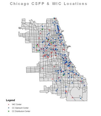
This map depicts all of the centers (WIC, CSFP Outreach, CSFP Distribution) throughout Chicago. It gives the onlooker a better understanding of what centers are over/under represented in certain areas, and in general which areas were left out of consideration.
Keywords
GIS, Childhood Obesity, Chicago Community Health