


Preview
Creation Date
2014-04-21
Description
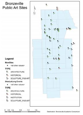
This census tract map, which uses point data, displays geocoded landmarks and public art sites classified by type for the Chicago Bronzeville neighborhood.
Keywords
GIS, Bronzeville, Chicago, public art, landscape architecture